Four Bars of False Hope: Planning Trips Around America's Dead Zones

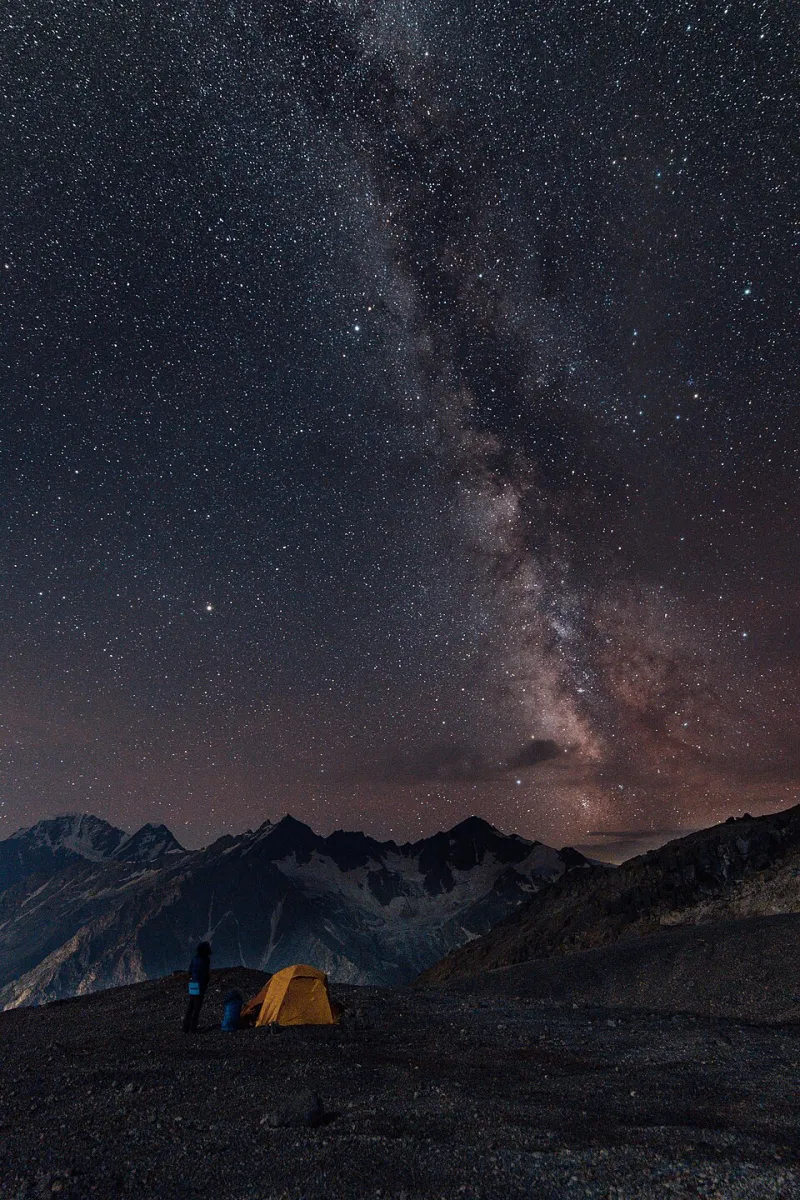
Photo: Aavindraa, CC0, via Wikimedia Commons
Somewhere on a forest road in central Idaho, I watched my phone's signal go from two bars to 'No Service' in the time it took to round a bend. My route home lived on that phone. So did the campsite coordinates, the weather forecast, and the number for the ranger district. That's the moment every camper eventually meets — the moment you realize the coverage map you checked on your couch in a climate-controlled living room was, at best, an optimistic guess.
Coverage maps are built from drive tests on highways and population modeling, not from the exact spot where you're standing in a granite drainage holding your phone above your head like a sacrificial offering. Treat them accordingly.
Why the Map Lies to You
Carrier maps shade entire counties in reassuring color, but signal strength is a hyper-local phenomenon. A ridge, a stand of dense timber, or a single canyon wall can kill a connection that supposedly blankets the region. Terrain matters more than marketing: the same campsite might have service at the picnic table and nothing fifty feet away in the draw.
The bigger problem is what happens after the bars vanish. Modern trips run on phones — navigation, reservations, fire restrictions, trail conditions. When the connection drops, everything built on top of it drops with it. Unless you planned for it.
Download Everything Before You Leave the Driveway
The fifteen minutes you spend at home on Wi-Fi is the cheapest insurance in camping:
- Offline maps. Download the full region in Google Maps, Gaia GPS, or onX — not just the route. Zoom out and make sure the download covers your drive and your camp area, including the roads you might bail down.
- Offline topo layers. Apps like CalTopo and Gaia let you save USGS quad layers. If you're going anywhere off pavement, this is non-negotiable.
- Documents. Screenshots of your permit, campsite confirmation, and the ranger district phone number. Screenshots work without service.
- Weather, twice. Pull the forecast for your camp coordinates and the nearest town, then screenshot it. Knowing the forecast from Tuesday doesn't help on Saturday.
- Offline entertainment and a compass app. Long dark hours in a tent with no bars are real.
The Low-Tech Backup That Actually Works
Phones fail — batteries die, screens crack, cold drains them fast. Your backup shouldn't live in the same device.
A paper map and a baseplate compass weigh almost nothing and never need a charge. For road-trip camping, grab the relevant USFS or BLM district map; they mark forest roads far more accurately than any app. Learn to take a bearing and identify a few landmarks before you need the skill. It's a half-hour of practice that pays off forever.
Add a power bank sized for at least two full phone charges, and keep your phone in airplane mode at camp. Searching for signal in a dead zone is a battery furnace — the radio will peg itself at full power all day hunting for towers that aren't there.
Where the Maps Overpromise Most
Some patterns are worth knowing before you pick a destination. A rough guide to America's most deceptive coverage regions:
- The Mountain West interiors — central Idaho, western Montana, southeast Oregon, and the Wyoming basins. Vast, gorgeous, and mostly a no-service wasteland between highways. Plan for zero signal the moment you leave an interstate.
- The Colorado Plateau — southern Utah's canyon country and the Arizona strip. Canyons block signal even when a town sits ten miles away. Slot country is blackout country.
- The Ozarks and Ouachitas — hilly hardwood forest across Arkansas and southern Missouri eats signal in the hollows, despite decent coverage along the highways.
- Northern Minnesota and the Boundary Waters — lake country with towers clustered around towns and nothing between them.
- Appalachian back roads — West Virginia and eastern Kentucky look covered on paper; the ridgelines say otherwise.
- Alaska, obviously — assume no service outside Anchorage, Fairbanks, and the Kenai road corridors. Full stop.
The rule of thumb: the more remote and beautiful the destination, the more the map is selling you fiction.
Gear That Keeps You Findable
If you regularly camp beyond cell range, two pieces of kit earn their weight:
A satellite messenger. A Garmin inReach Mini or a SPOT device gives you two-way texting and an SOS button over satellite, independent of any cell tower. For solo trips, off-season camping, or anywhere with real consequences, this is the single best upgrade you can make. Newer phones have satellite SOS built in, but treat that as a bonus, not a plan — it's carrier- and region-dependent.
A quality headlamp and spare batteries. If your plan ever involves walking out to find signal, you want to be doing it in daylight or with real light — not with a dying phone flashlight.
Build the Habit
Before every trip, run a five-minute checklist: maps downloaded, documents screenshotted, forecast saved, power bank charged, paper map in the door pocket, satellite messenger on. Do it every time and it becomes automatic — like checking the hitch or topping off the water jug.
The wilderness doesn't care how many bars you had last week. But with a little preparation, losing the signal stops being a crisis and becomes what it should be: the whole point of going.